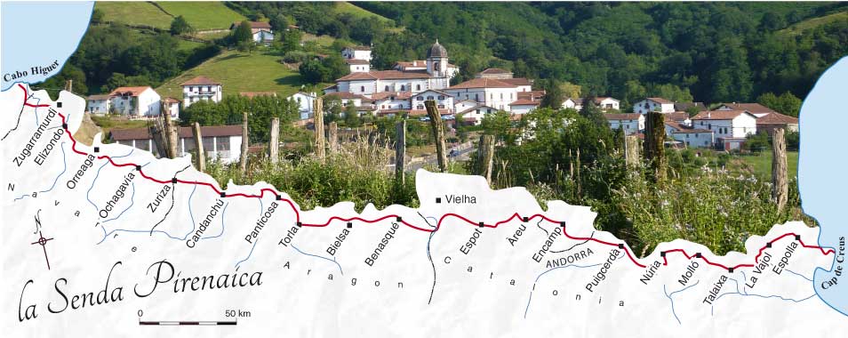


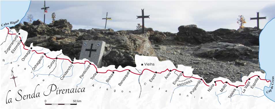
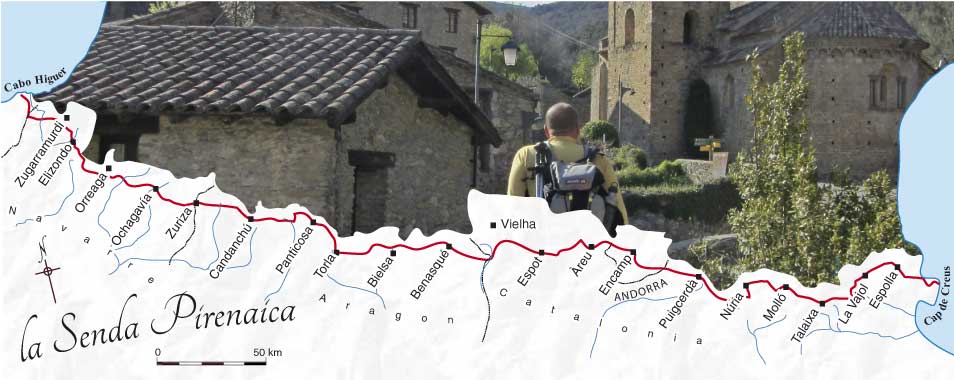
France
Returning to Bagnères-de-Luchon, I hitched to the car park at the head of the Lys valley. The afternoon’s walk took me up to the Maupas hostel, 1300m above. Again this was my personal variant: it was my first time at Maupas.

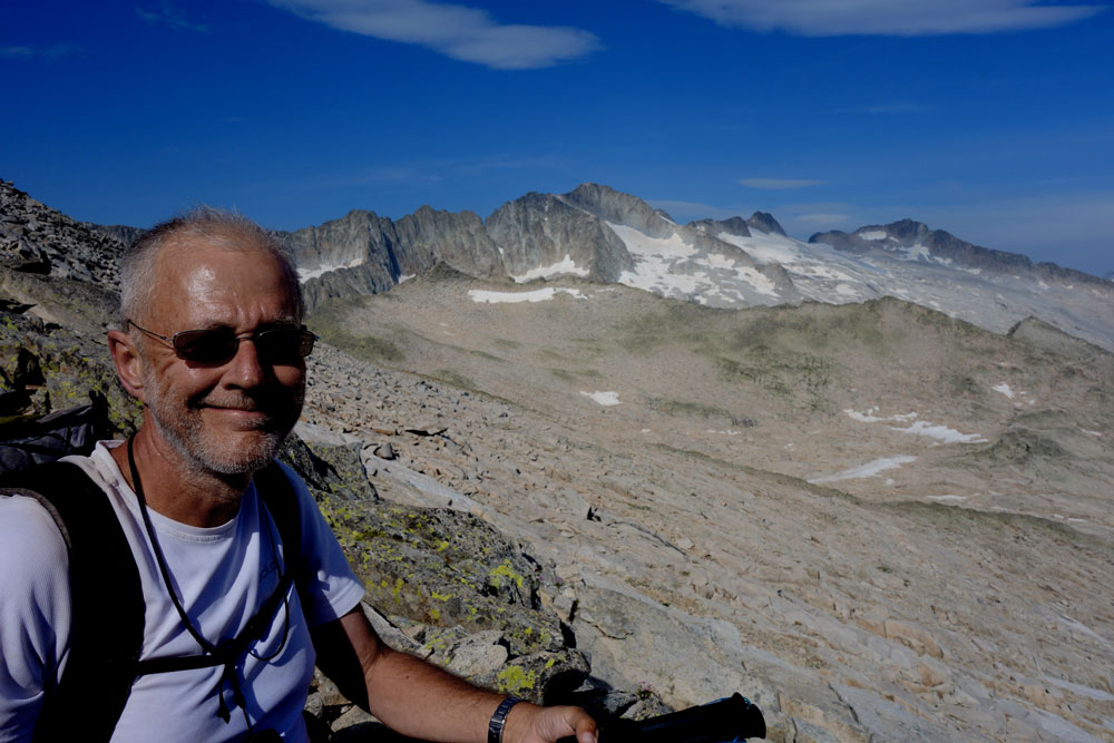
I arrived in cloud. Only when the skies cleared after dinner did I realise quite how vertiginous the site is.
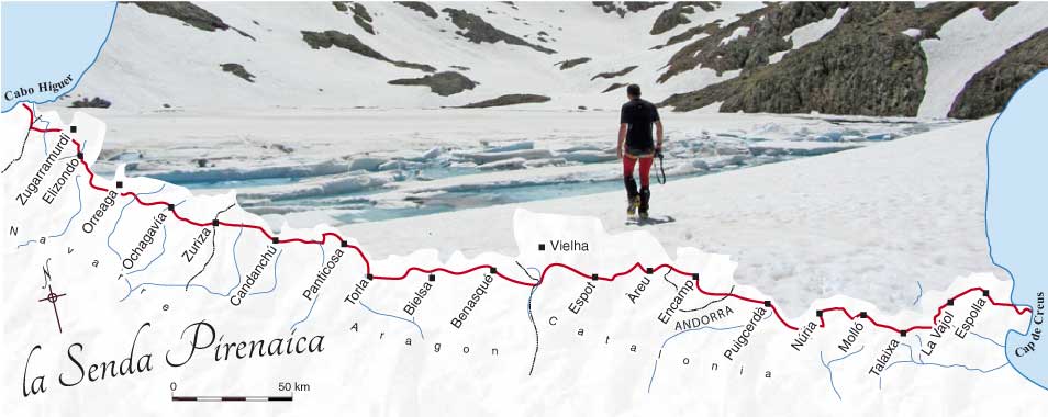
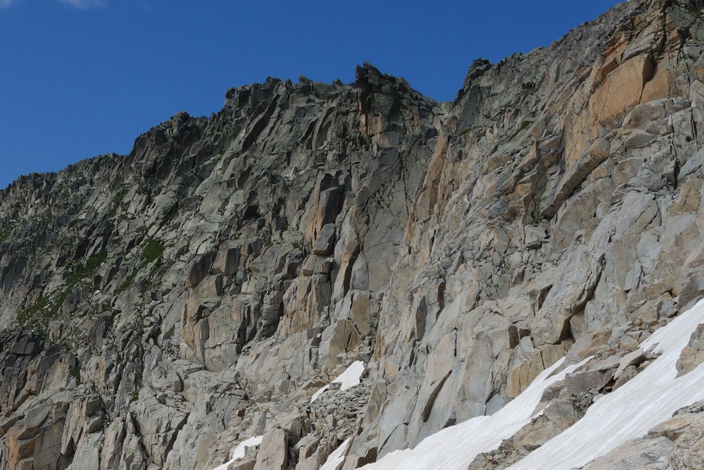
The path from Maupas to the Hospice de France hostel was destroyed in places by mudslides earlier in the year. Although a few walkers have passed and the mud has stabilised I would have been happier with crampons and an ice axe.
Spain
I crossed back to Spain at the Port de Benasque.
At the Renclusa hostel everybody, but everybody, gets out of bed at 4:30 and sets out an hour later. Most were heading for Aneto. I was with a guide, Agustín from the Compañia de Guías de Benasque.
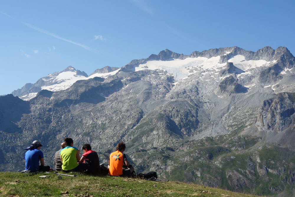
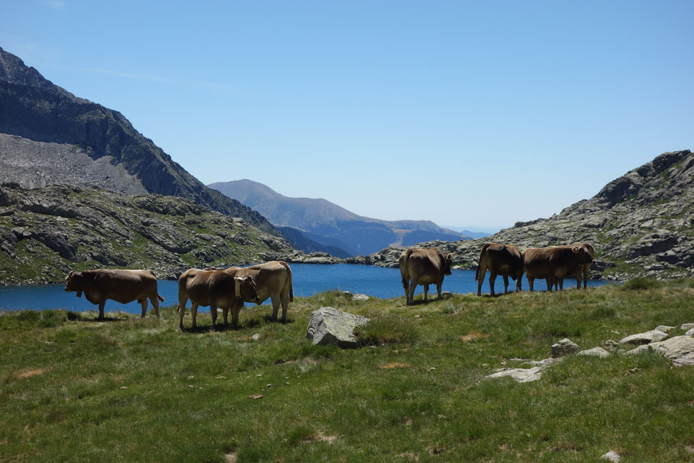
It is a long but pleasant walk from la Renclusa to the Col de Mulleres, at first through pasture and lakes, then climbing in an increasingly mineral landscape before arriving at the pass. I looked down the other side for half a second and then avoided looking down again until we had reached the bottom. Without Agustín I would have turned back. No rope though.
Below the pass the route crosses what seemed like interminable boulder fields before arriving at the Conangles hostel. Twelve hours walking, which would have been better split at the Mulleres hut.
At this point I discovered quite how popular the Aigüestortes and lac Saint-Maurice National Park is in the first two weeks of August. All the hostels were full. Visitors were even being turned away at the main road entry points. The Senda and especially the Carros de Foc (Chariots of Fire) http://www.carrosdefoc.com/en/ circular walk attract crowds.
Finally I took a day off, went to the booking office itself and wrangled a space on the floor of the dining room at Colomers. When I arrived, having walked two stages in one day, a real bed was found for me.
The following day there was still no space so I walked right out of the park to Vaquèira, to the only hotel open in this ski resort. Four star, at a four star price.

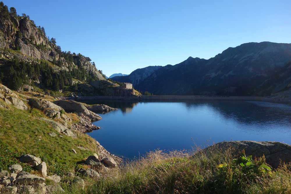
I took a taxi back up to the Cap Deth Port pass to rejoin the Haute Route, passing by the Airoto hut to the excellent Founet hostel https://www.facebook.com/refugidelfornet/, above Alós d’Isil.

In Isil visiting the Casa de l’Ós Bru dedicated to the Pyrenean brown bears.
")